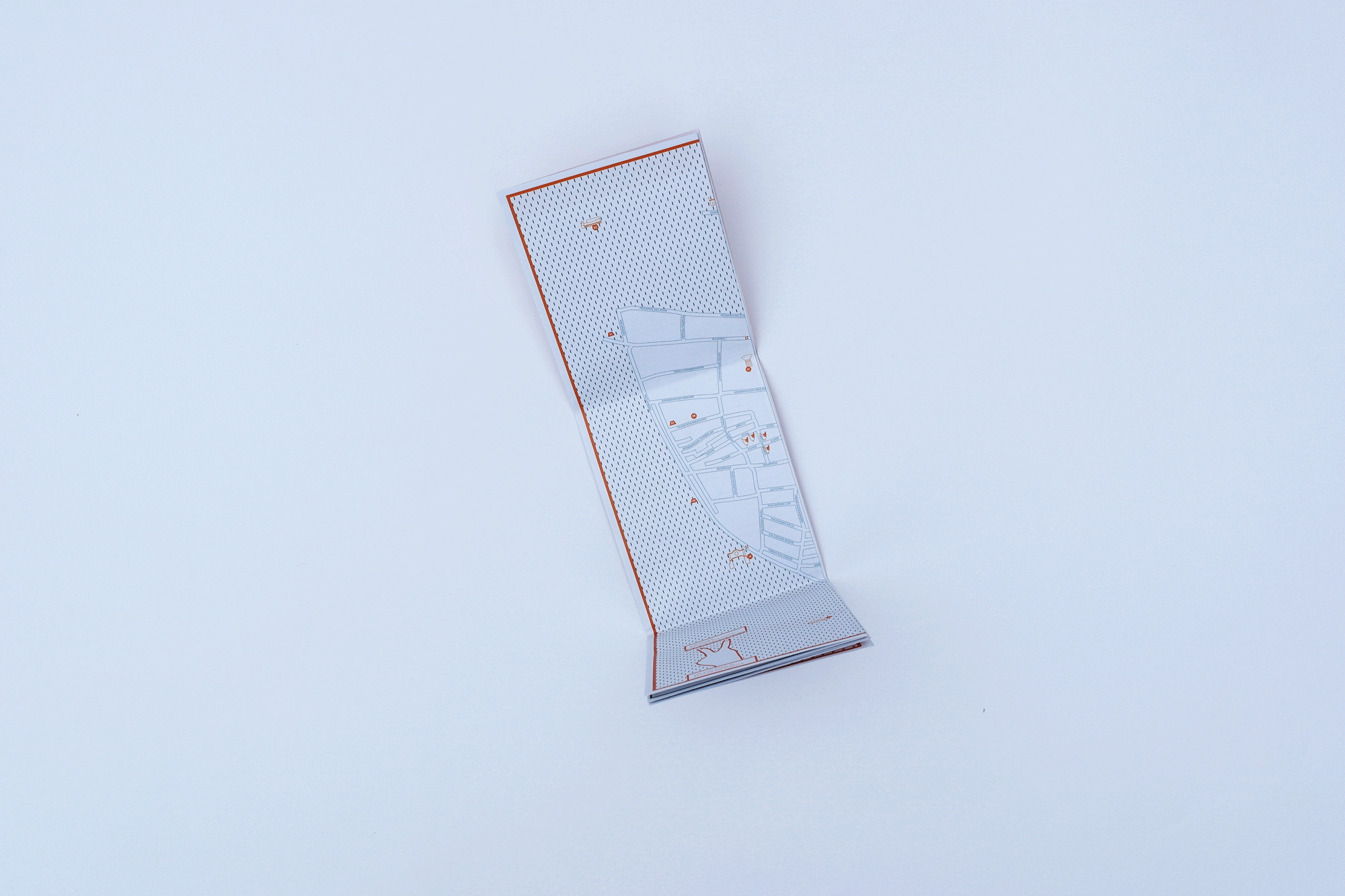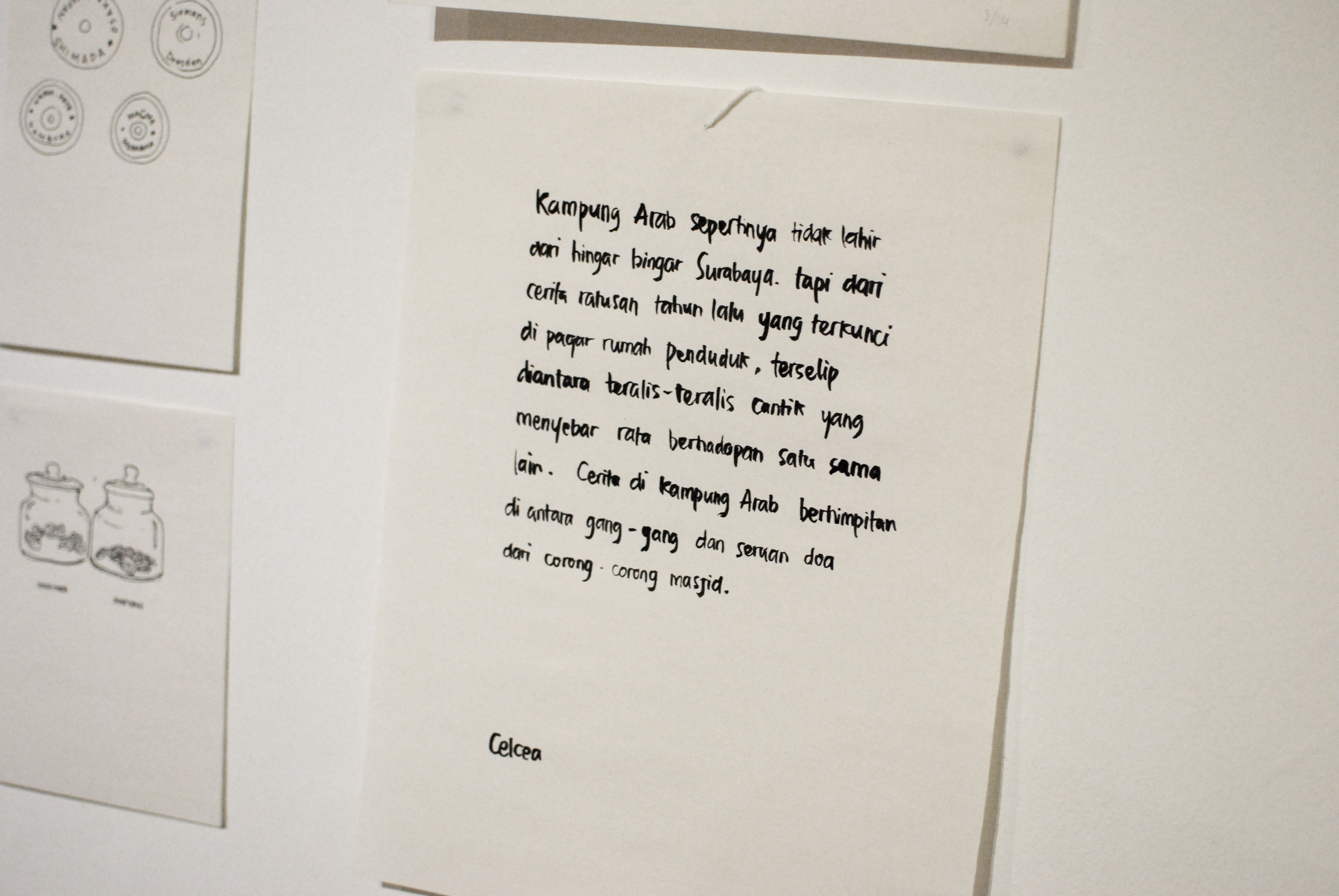
Pertigaan map is an ongoing–independent collaboration project by Anitha Silvia, cultural activist and Celcea Tifani, designer. The map is aiming to offer broader number of people to enjoy Surabaya Utara’s architecture, vernacular design, spacial usage, industrial activities through walking.
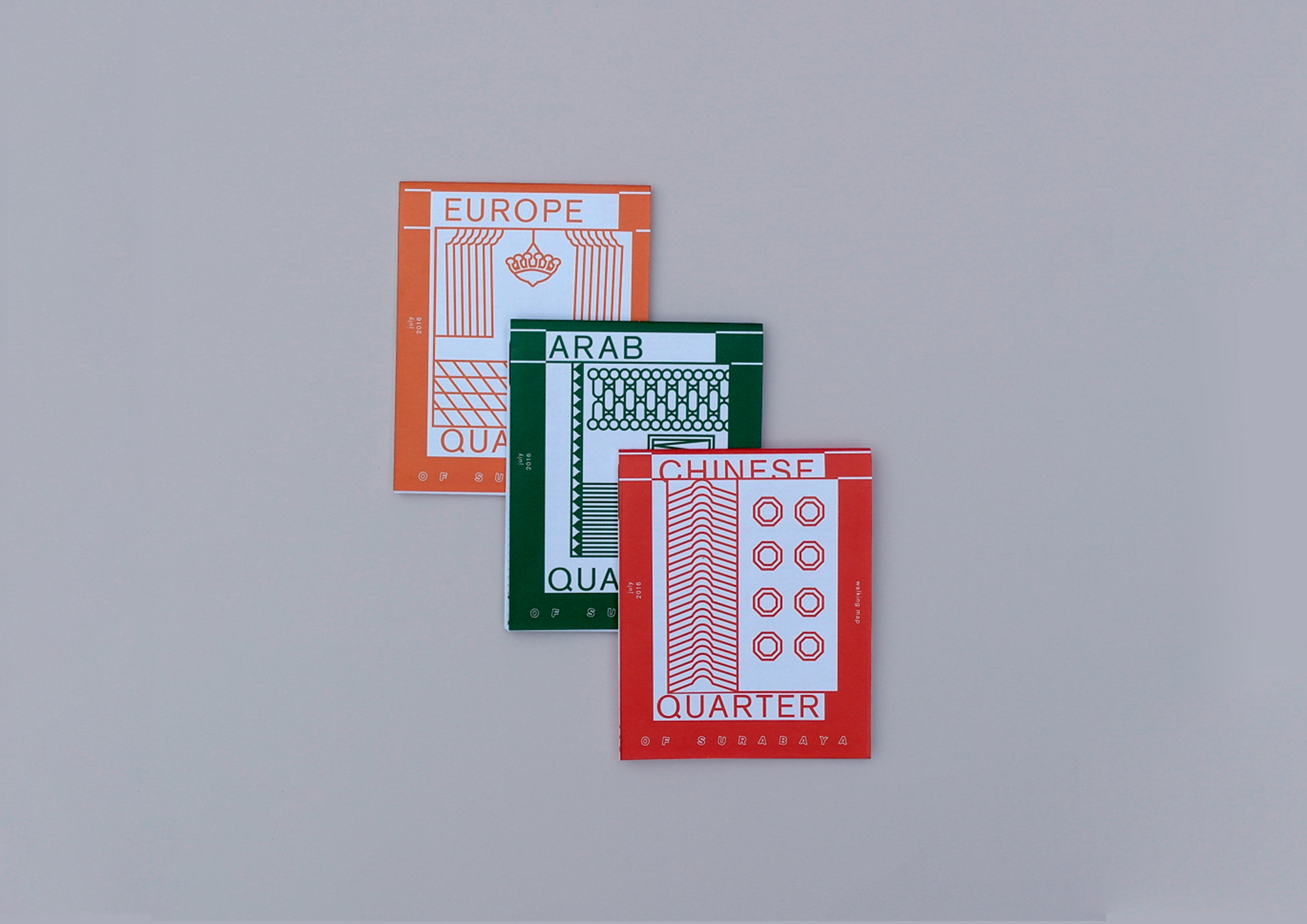
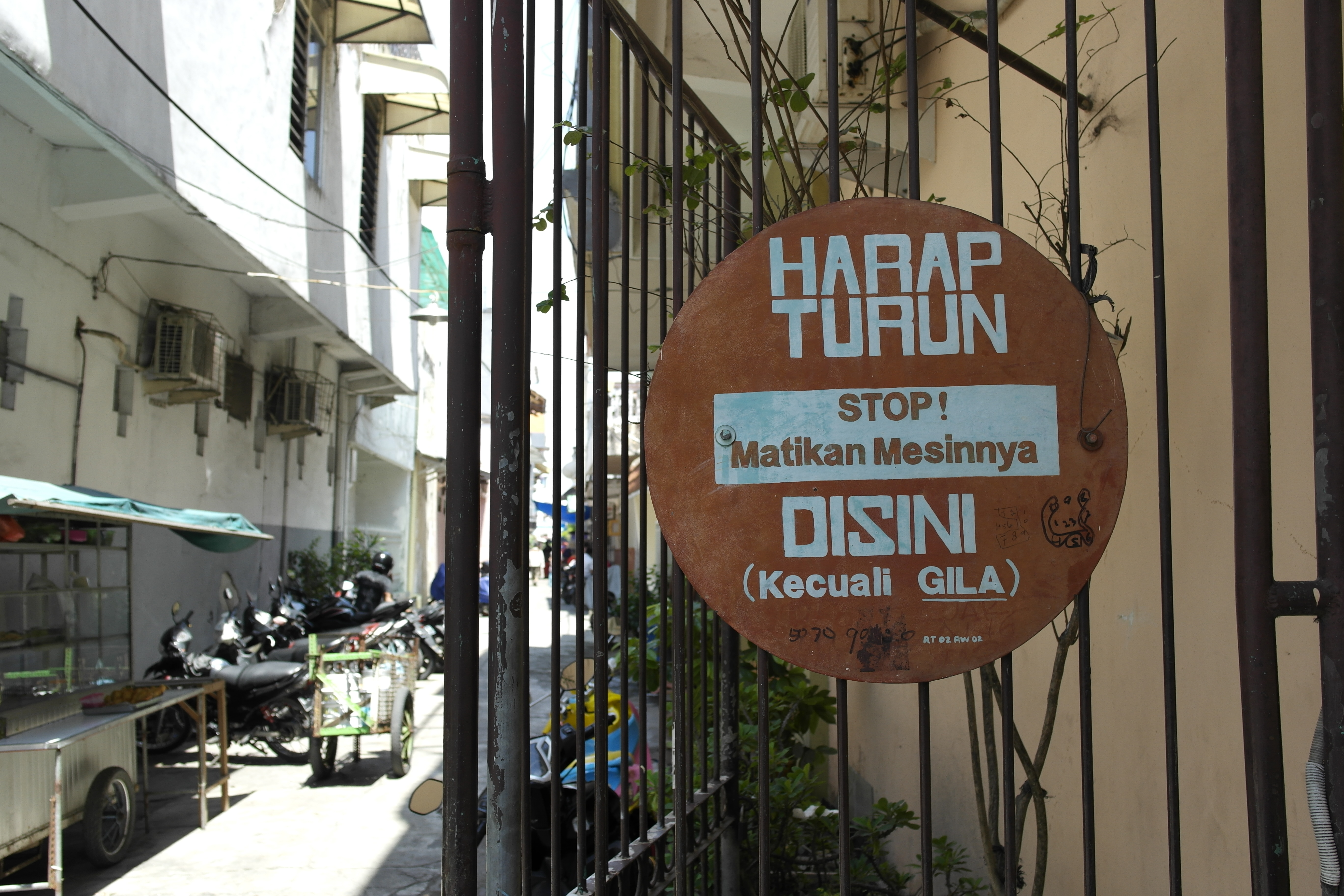
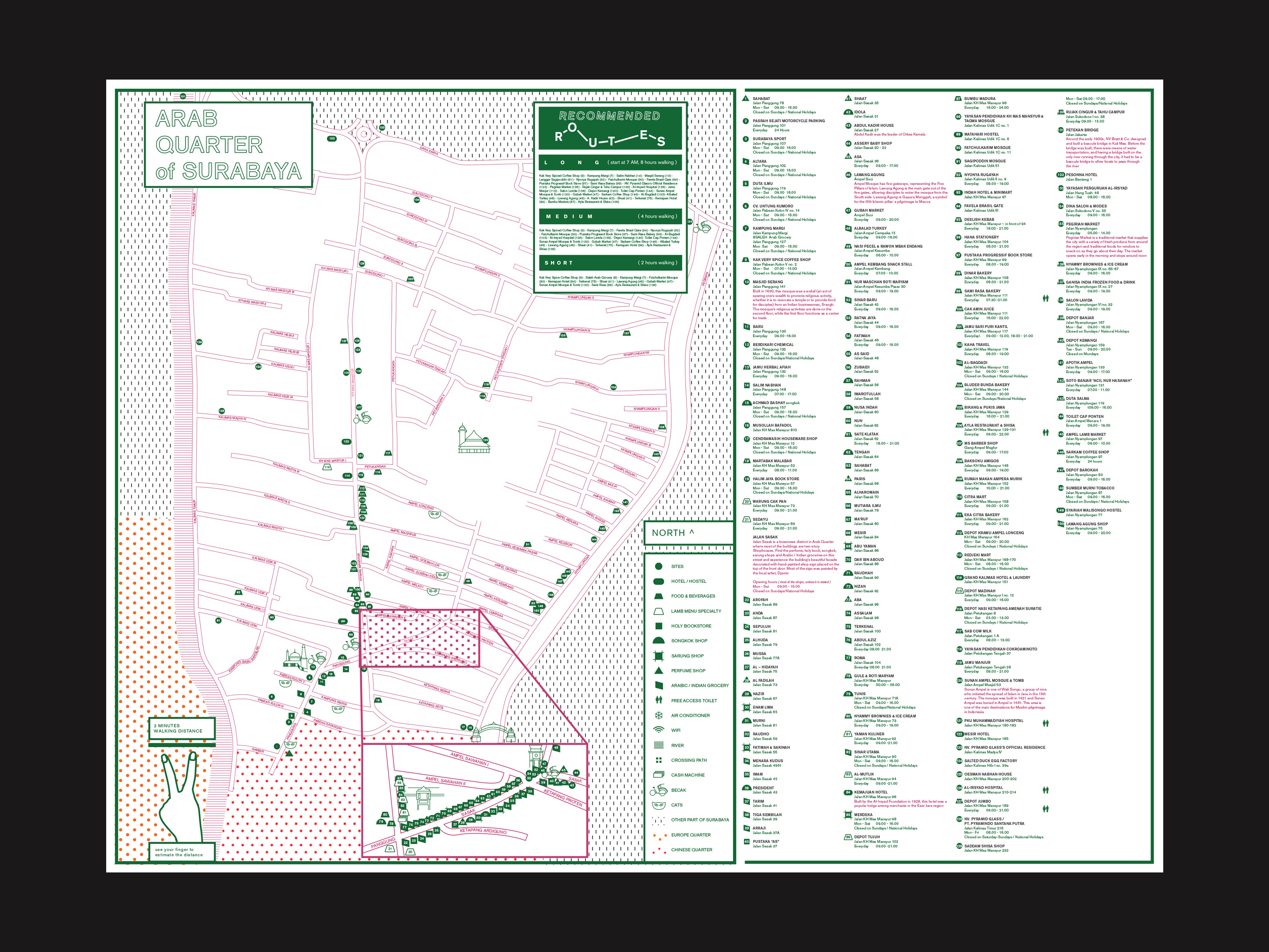
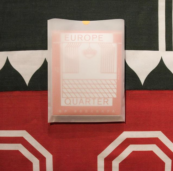
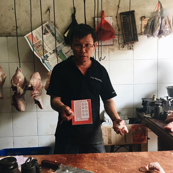
During the colonial times, North Surabaya used to divided by three different areas, Europe Quarter, Chinese Quarter, and Arab Quarter due to political reason. Following the independence of the country in 1945, the people of Surabaya slowly forgotten these three quarters original role back then as an area divider. The activities in those areas are remain the same. Shophouses, family-run businesses, markets, schools, prayer's houses stood up in every small alley and narrow streets. The vibrant and bustling atmosphere is a true reflection of Surabaya, the port city.
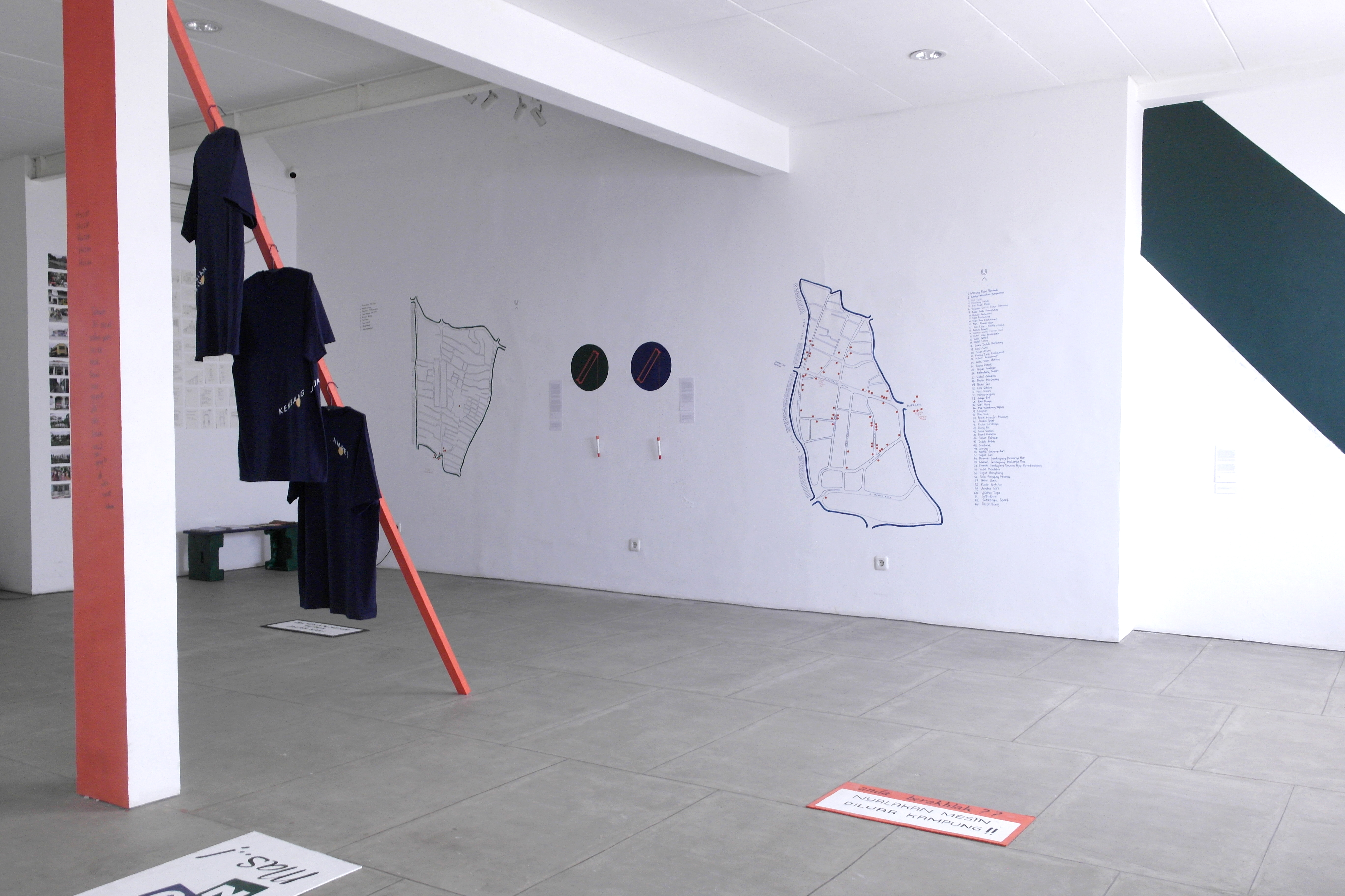
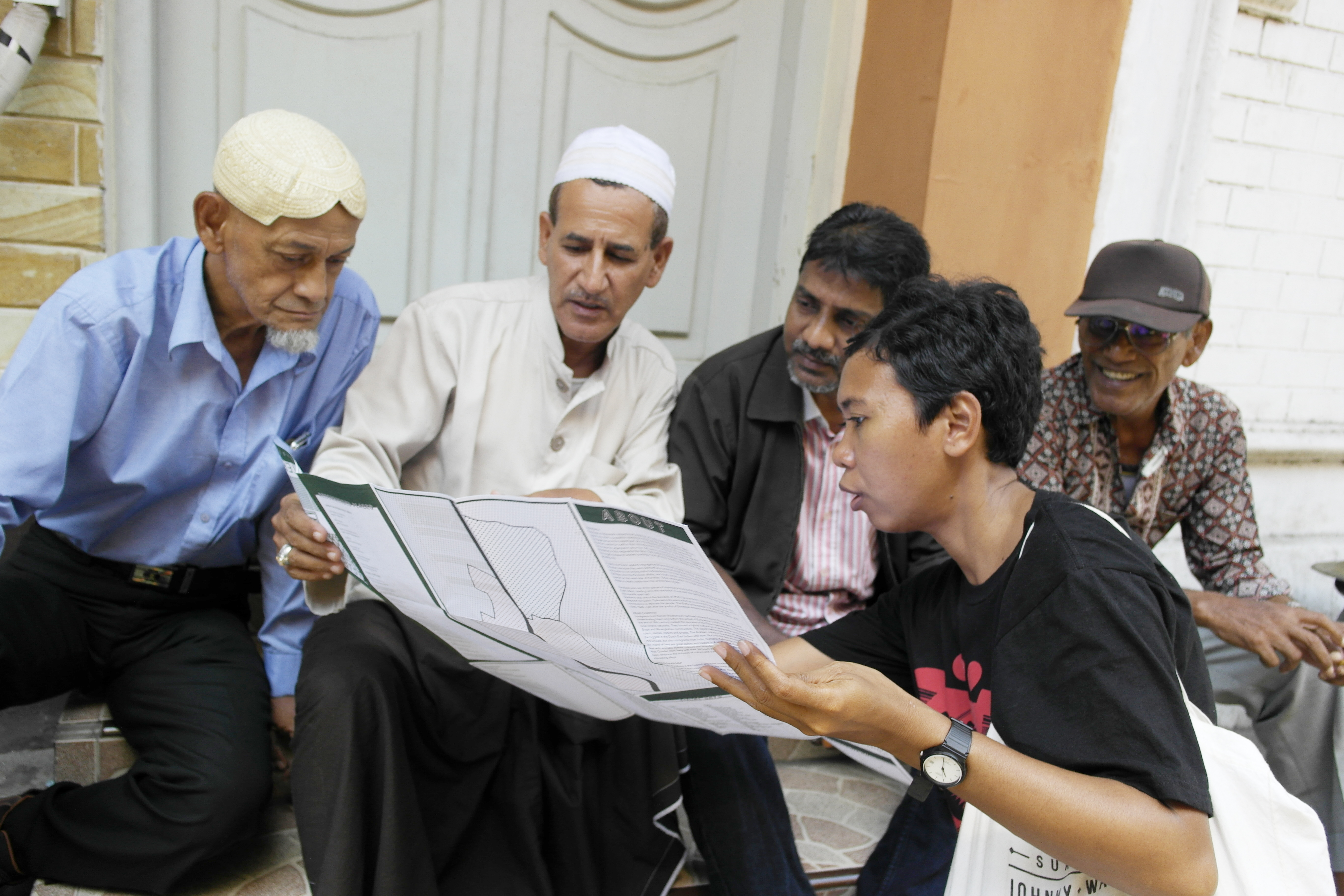
Pertigaan Map first edition has been launched in August 2016 to small number of people included communities, locals, and fellow designers. Following the launch, we have shared our project through Pertigaan Road Talk in 4 different cities (Solo, Jogja, Bandung, and Jakarta) in Java, Indonesia.
Pertigaan Map Instagram here
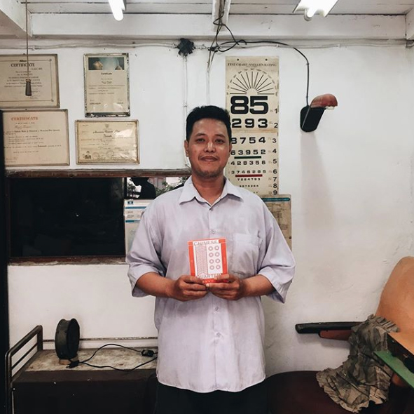
During the colonial times, North Surabaya used to divided by three different areas, Europe Quarter, Chinese Quarter, and Arab Quarter due to political reason. Following the independence of the country in 1945, the people of Surabaya slowly forgotten these three quarters original role back then as an area divider. The activities in those areas are remain the same. Shophouses, family-run businesses, markets, schools, prayer's houses stood up in every small alley and narrow streets. The vibrant and bustling atmosphere is a true reflection of Surabaya, the port city.
Pertigaan Map first edition has been launched in August 2016 to small number of people included communities, locals, and fellow designers. Following the launch, we have shared our project through Pertigaan Road Talk in 4 different cities (Solo, Jogja, Bandung, and Jakarta) in Java, Indonesia.
Pertigaan Map Instagram here